
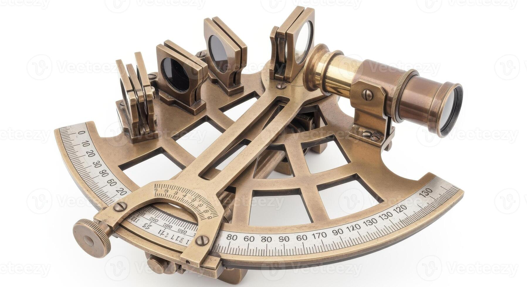
… I get the question, “Do you have a sextant on board if the chart plotter fails?”
I reply with the following question: “When you need to travel from Berlin to Paris, do you use a high speed train or plane or 6-horse-coach?”
For me a sextant and the mathematics behind it is simply sexy. However, I regard a sextant as the equivalent to a 6-horse-coach.
Why?
An very experienced user of a sextant might be able to determine his position within a circle of 5 NM in the best case.
Each of the the 3 mobile phones and the 2 tablet PCs I have on board determine my position in within a circle of about 15 m. This is roughly a boat length.
A simple calculation: 5 NM / 15 m = 600. Thus, all my mobile devices are 600 time more precise than a very experienced sextant user. I have for an emergency case paper charts on board.
Who still wants to travel the romantic way with a 6-horse-coach will and can enjoy this way of traveling.
The technology I, and all the sailors I met, are using for normal and emergency navigation is called “Global Navigation Satellite System” (GNSS), commonly known as “GPS”. GPS is just the US Version of the GNSS. The European system is GALLILEO, the Russian is GLONASS, the Chinese is BEIDOU, and the Japanese have also a few GNSS satellites in orbit and call them MICHIBIKI or QZSS. There are a few more up in the sky…
Technologies come and go…
The end of GNSS will most likely be a quantum based system; I heard this in rumors.
However, I bet it will not be in the next 10 years. Everything connected to quantum physics is not for the next years. More for the future. I heard the first time about quantum computers more than 40 years ago. They are not yet around the corner to replace land based high speed computer systems.
Thus, a quantum navigation system is for me as sexy as a sextant but it will be the future. One day. Beyond my days.

Leave a Reply